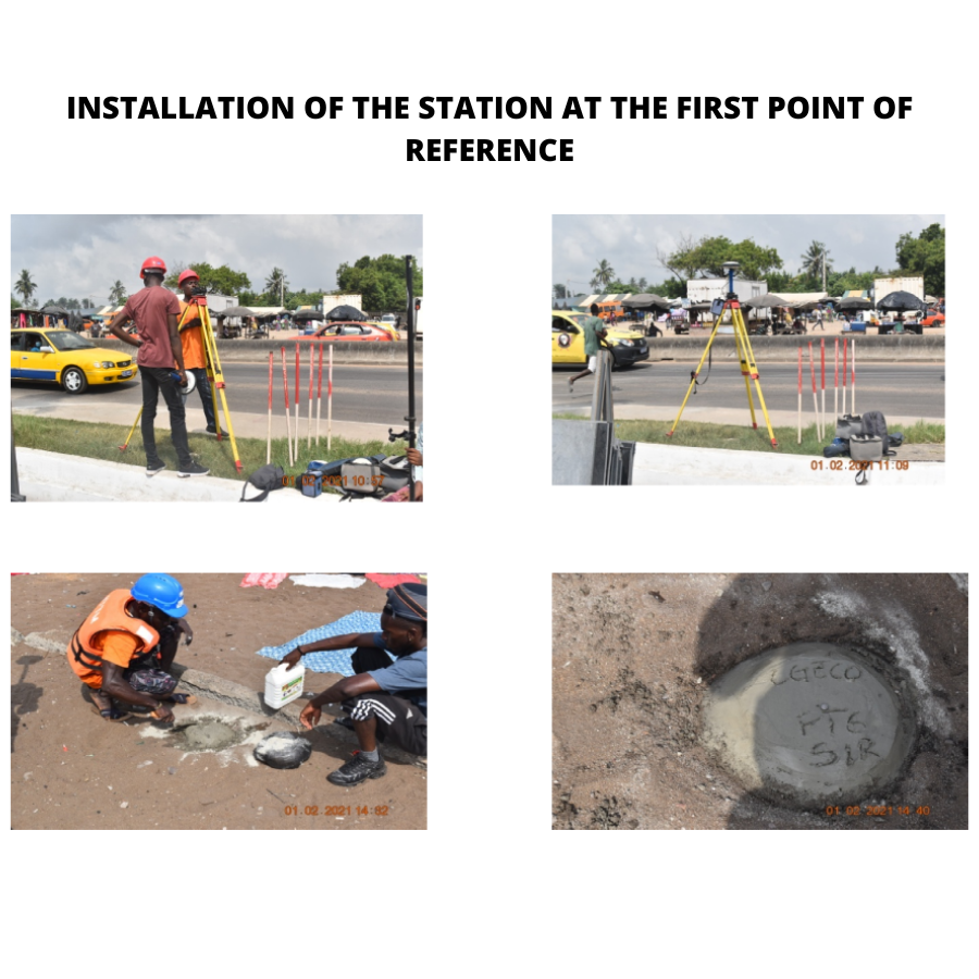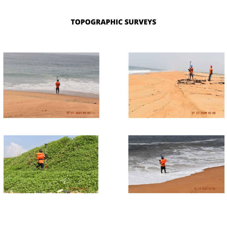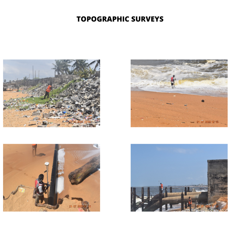
- GPS positionning with centimetric precision
- Acquisition, processing and interpretation of geophysical data
- Sea floor mapping and pipeline road survey
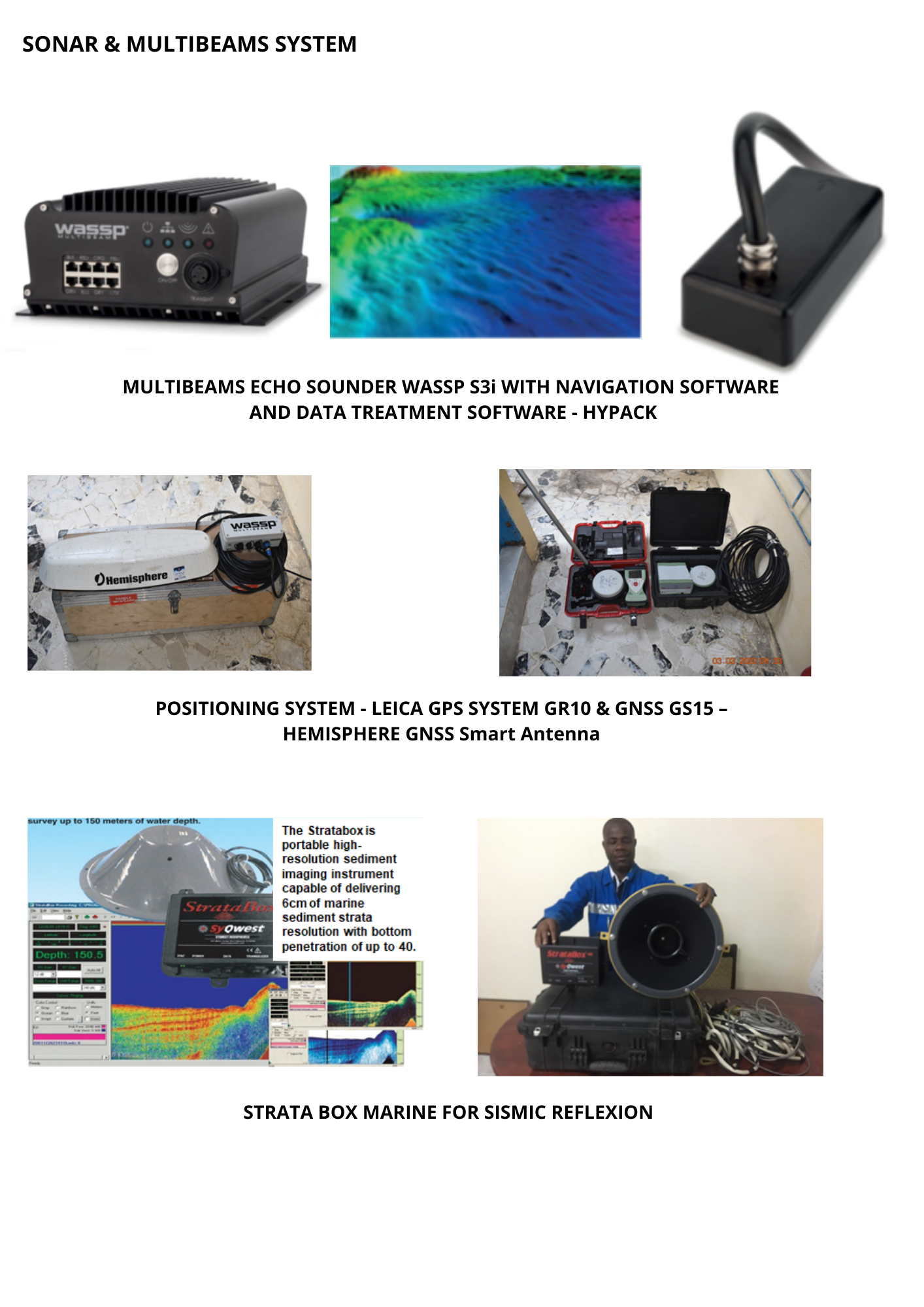
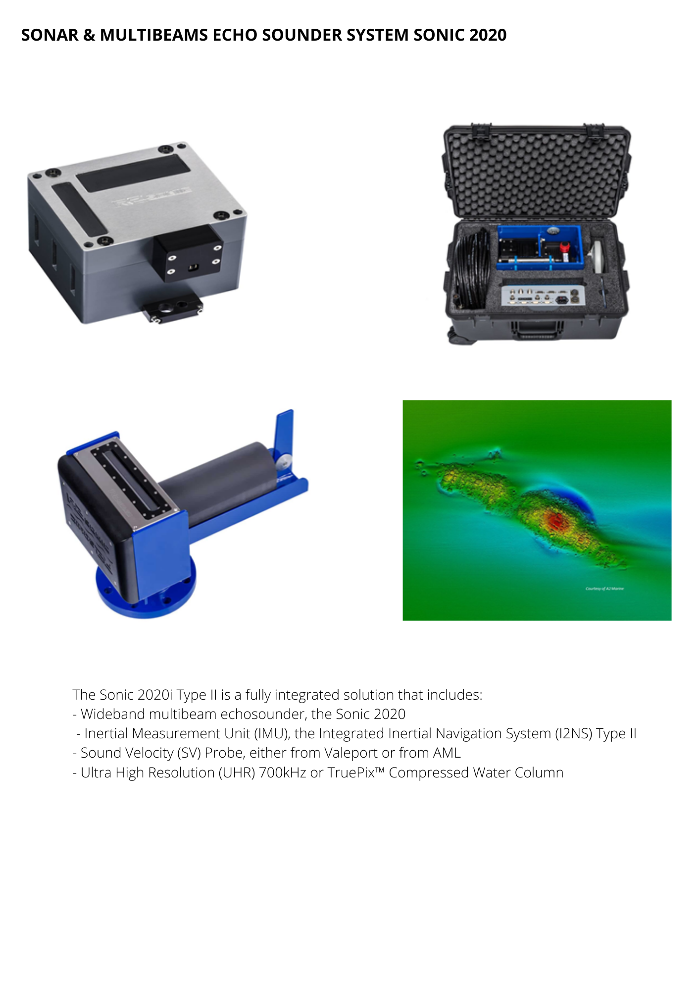
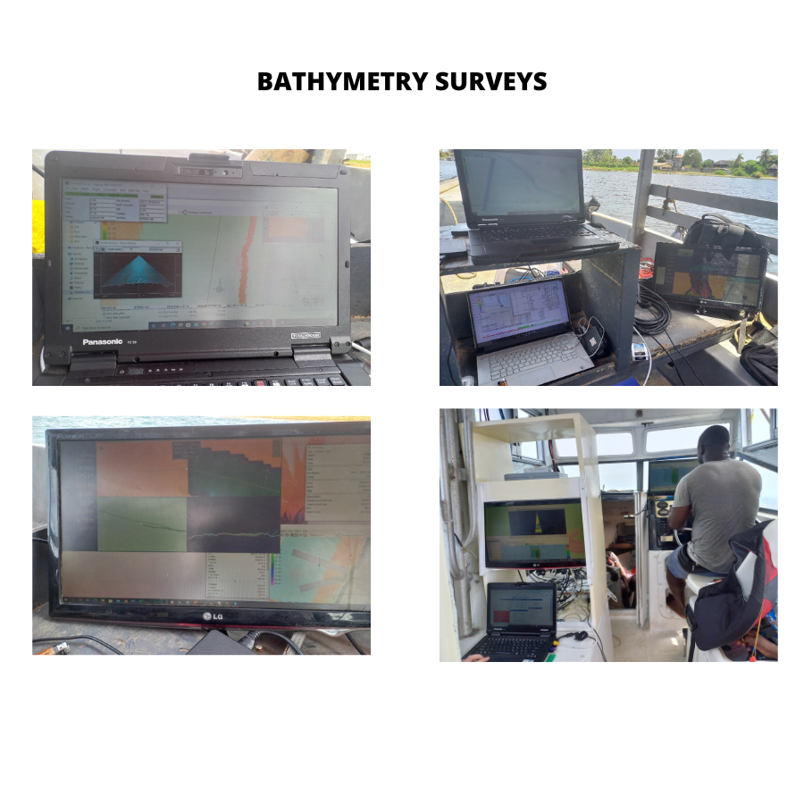
- Echo sounding with multi beams dual frequency echo sounder
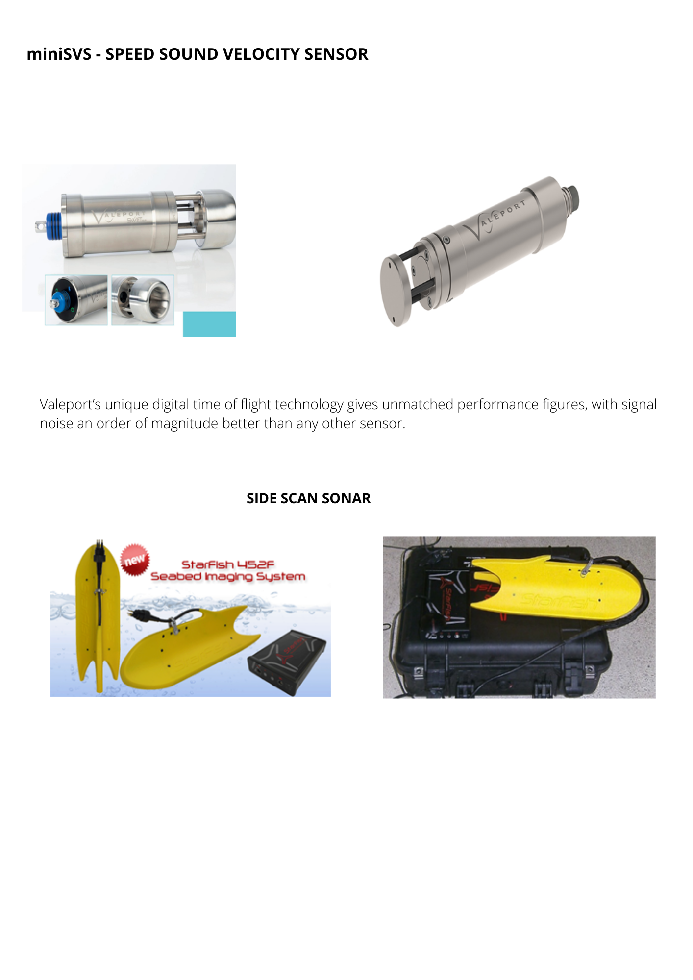
- Recovery of lost underwater strutures and objects with Side Scan Sonar
- NDT: Subsea MPI and UT inspection (CGSB standard)
- Thickness testing and cathodic protection
- BATHYMETRY SURVEY & NDT INSPECTION
- Equipments
- Sonar & Multibeams system
- Sonar & multibeams echo sounder system Sonic 2020
- MiniSVS - speed sound velocity sensor
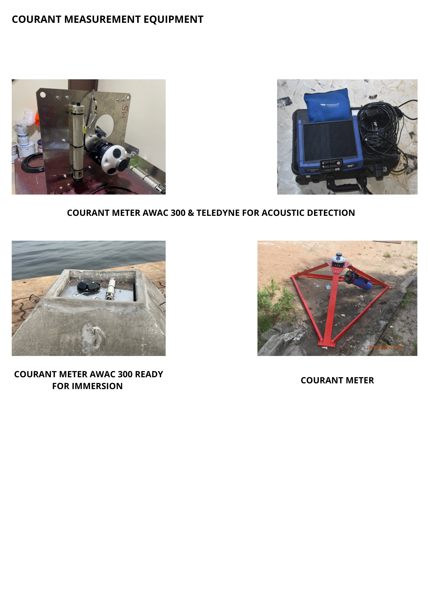
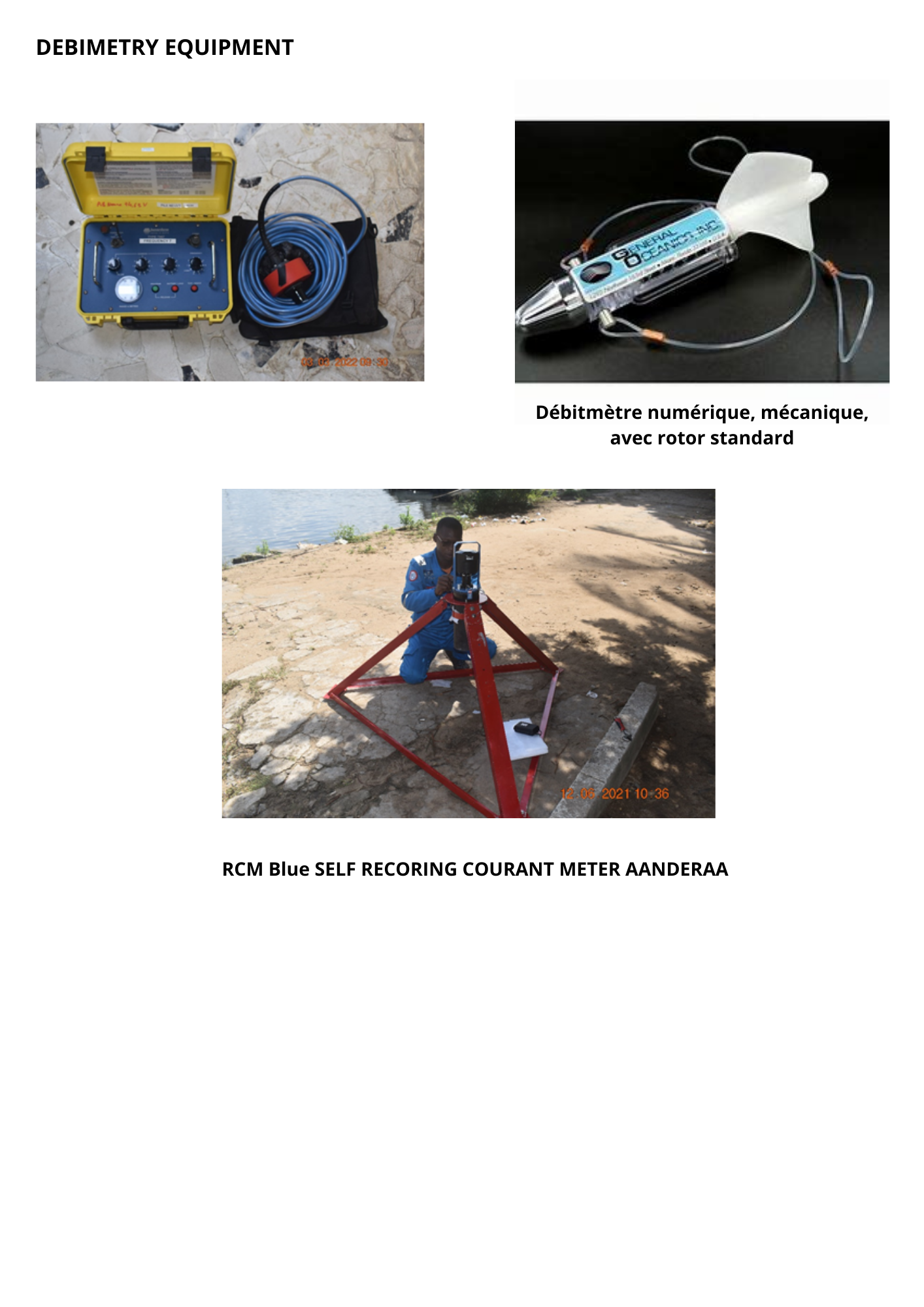
- Courant measurement equipment
- Debimetry equipment
- BATHYMETRY SURVEYS
- DEBIMETRY
- CORANTOMETRY
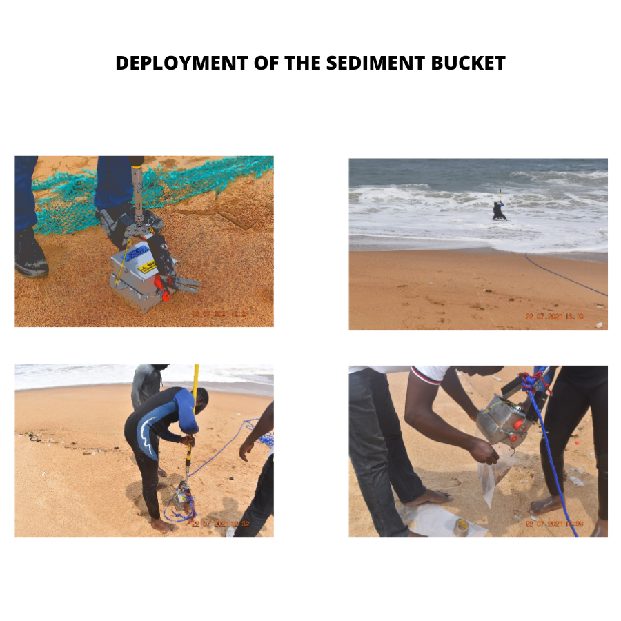
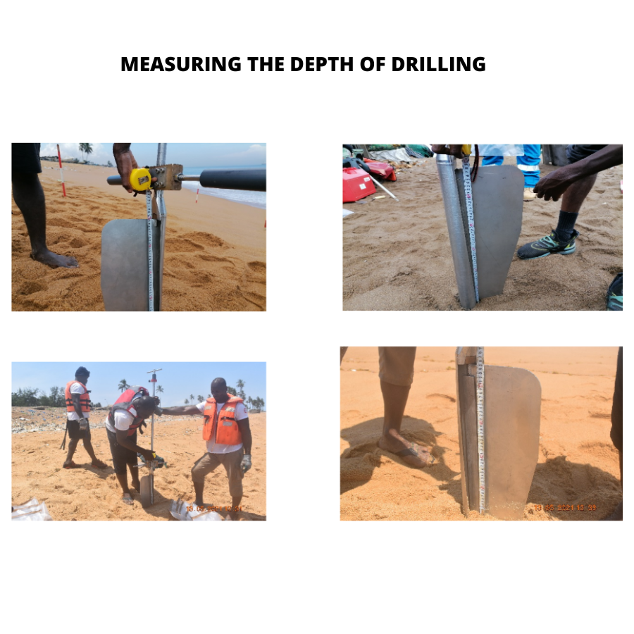
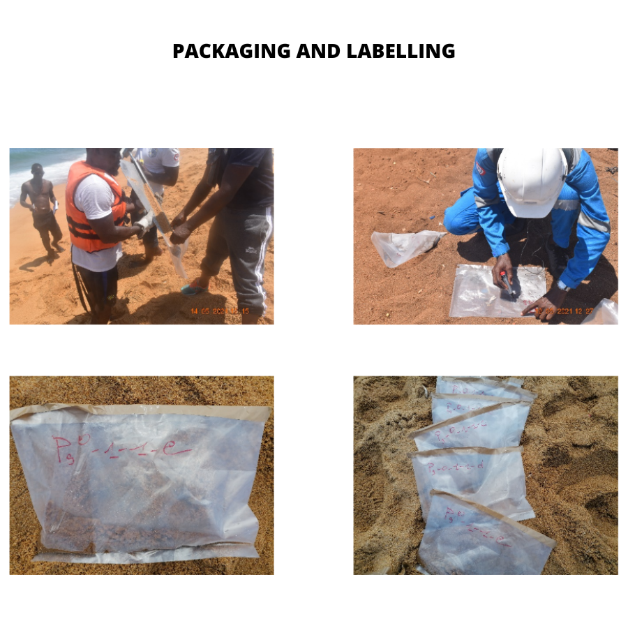
- COASTAL SEDIMENTOLOGY
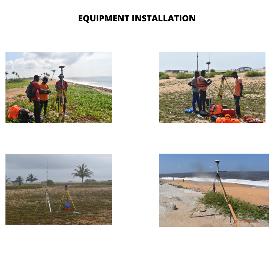
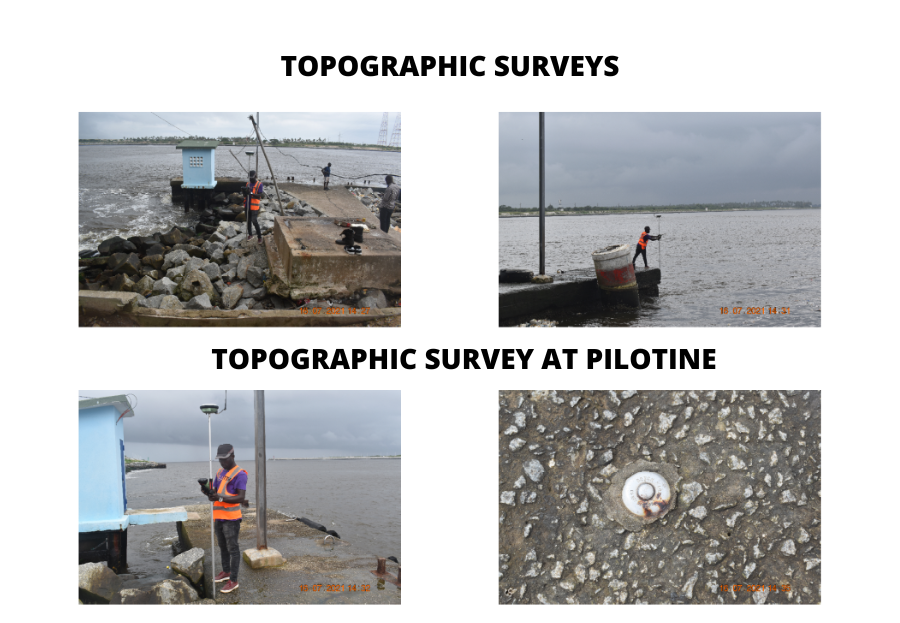
- TOPOGRAPHY
- References
- GPS positionning with centimetric precision
- Acquisition, processing and interpretation of geophysical data
- Sea floor mapping and pipeline road survey
- Echo sounding with multi beams dual frequency echo sounder
- Recovery of lost underwater strutures and objects with Side Scan Sonar
- NDT: Subsea MPI and UT inspection (CGSB standard)
- Thickness testing and cathodic protection

SACPRM (3rd BRIDGE)
March-May 2014: Statements bathymetric in the water lagoon 20 Ha in the context of the completion of the bridge Riviera Marcory
Oct.2013: Bathymetric Surveys in the lagoon of 14 hectares lake in the context of the completion of the bridge Riviera Marcory
Jan-March: 2013 Bathymetric surveys in the water lagoon 37 Ha in the context of the completion of the bridge Riviera Marcory
Déc.2012: Bathymetric Surveys in the water lagoon 75 Ha in the context of the completion of the bridge Riviera Marcory
April 2014: crushing work environments immersed in the dock 12, 13 and 14 AAP
Déc.2013: Image Acquisition underwater sonar
Dec.2013: Bathymetric Surveys in the water 12 Ha lagoon to the dock 12 and 13 AAP
Nov.2013: Bathymetric Surveys in the water 28 Ha lagoon to the dock 12 and 13 AAP
JICA STUDY TEAM (Japanese International Cooperation Agency)
1999-2000 Study of the impact of major development projects on the environment in the Republic of Côte d'Ivoire.
July 1999 Works surveying as part of the feasibility study on the Western part of Sanitation Abidjan.
December 1998 Works surveying and hydrographic surveys as part of the Study for the Integrated Rural Development in the plain of San Pedro with surveys of routes 18 km from Fahe SAN PEDRO
PAA (Autonomous Port of Abidjan)
April 2001 topographic and bathymetric studies of Vridi channel input goes into partnership with ID SCOPE / MONACO
Oct. 1998 Campaign hydrographic surveys and topographic surveys of levees East etOuest Vridi channel
April 1998 Water Survey and surveying dikes Eastern and Western Vridi channel coordinates MTU INTERNATIONAL


